
Portafolio
Hebgen Dam, Montana, USA

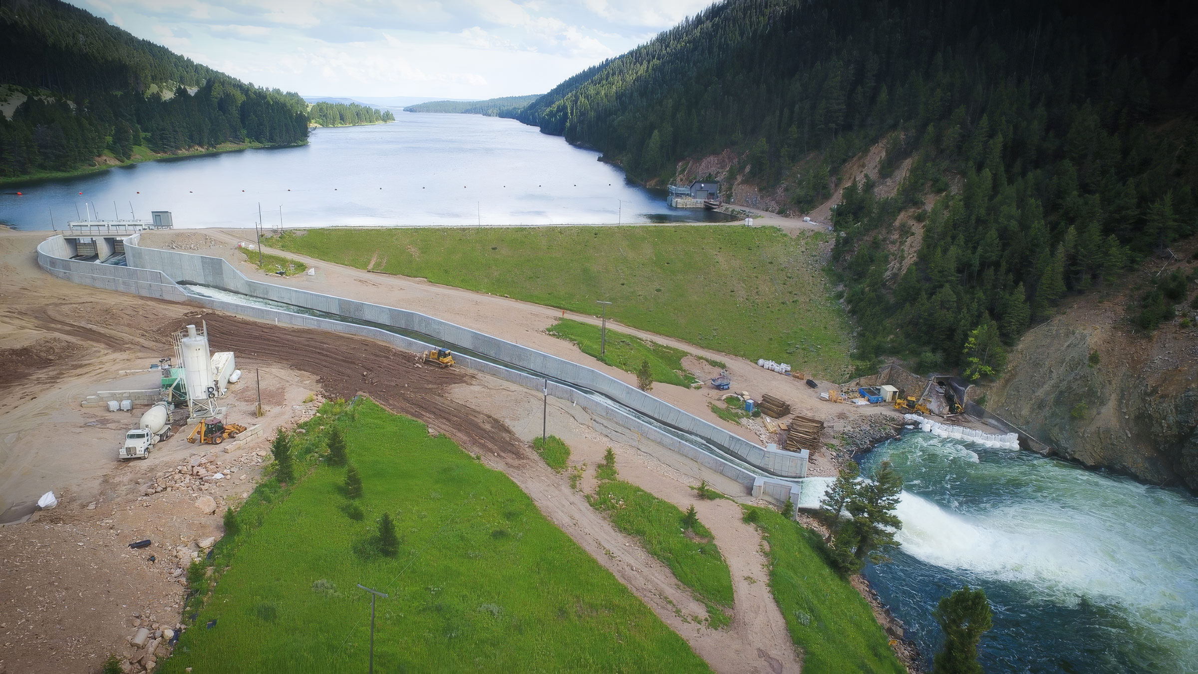
The dam that held through a magnitude 7.5 earthquake in 1959 still regulates the headwaters of the Madison-Missouri river system near Yellowstone National Park. Estructura installed the seismic monitoring system that keeps NorthWestern Energy informed of how it responds to every event.
Trasfondo
Hebgen Dam impounds Hebgen Lake on the Madison River in southwest Montana, just north of the Idaho border and near the western entrance of Yellowstone National Park. Construction began in 1910 and was completed in 1915; at the time, its reservoir was the seventh largest in the world. Today it holds 386,000 acre-feet of water from a 905-square-mile drainage area at the headwaters of the Madison-Missouri river system.
Owned and operated by NorthWestern Energy, Hebgen does not generate electricity itself. Its role is to regulate flows into the Madison and Missouri rivers, supporting the output of eight hydroelectric plants downstream and the health of the Madison River, a world-renowned trout fishery.
Challenge
Hebgen sits in one of the most seismically active regions of the U.S. interior, shaped by the Yellowstone hotspot and the Intermountain Seismic Belt. On August 17, 1959, a magnitude 7.5 earthquake struck near the dam. Hebgen held, but it was significantly damaged in several areas and required repairs completed in 1960. That event remains one of the defining case studies of dam behavior in a major earthquake.
More than a century after construction, the owner needs to know, not assume, how the dam responds to the frequent earthquakes in the region. After any significant event, NorthWestern Energy and its dam safety engineers must confirm the structure's condition quickly, both to protect communities and recreation areas downstream and to keep the river system operating. [Hebgen is part of a federally licensed hydroelectric project, and FERC dam safety guidelines encourage strong-motion instrumentation at dams in seismically active areas.]
Solution
Estructura designed and installed a strong-motion monitoring system based on GeoSIG's reference design for embankment dams, the same family of instruments used at the Enguri Dam in Georgia, one of the tallest arch dams in the world. [Triaxial AC-7x accelerometers are placed on the dam crest, at both abutments and at the downstream toe, with a free-field station on nearby rock to record ground motion independent of the structure. Each location is connected to a GMSplus digital recorder.]
When an earthquake strikes, the system compares how the dam amplified ground motion from base to crest against thresholds defined by NorthWestern Energy's engineers, and GeoSMART delivers an event report within minutes. Over time, the archived records document the dam's dynamic behavior, helping engineers detect gradual changes and plan inspections and maintenance. [Estructura's TerraIntel satellite service adds millimeter-scale measurement of settlement and deformation across the embankment and surrounding slopes.]
Hebgen's story began with a dam that held. Continuous monitoring now gives its owner measured evidence of how it holds today, with dam safety engineers keeping the final authority on every decision.
Another solution using GeoSIG instruments and a capable partner, showing that quality and reliability can also be cost-effective.
Nuestros proyectos
Nuestros proyectos en el mundo que utilizan nuestras soluciones y tecnología.


