
Portafolio
Willamette Water Supply System, Oregon, USA

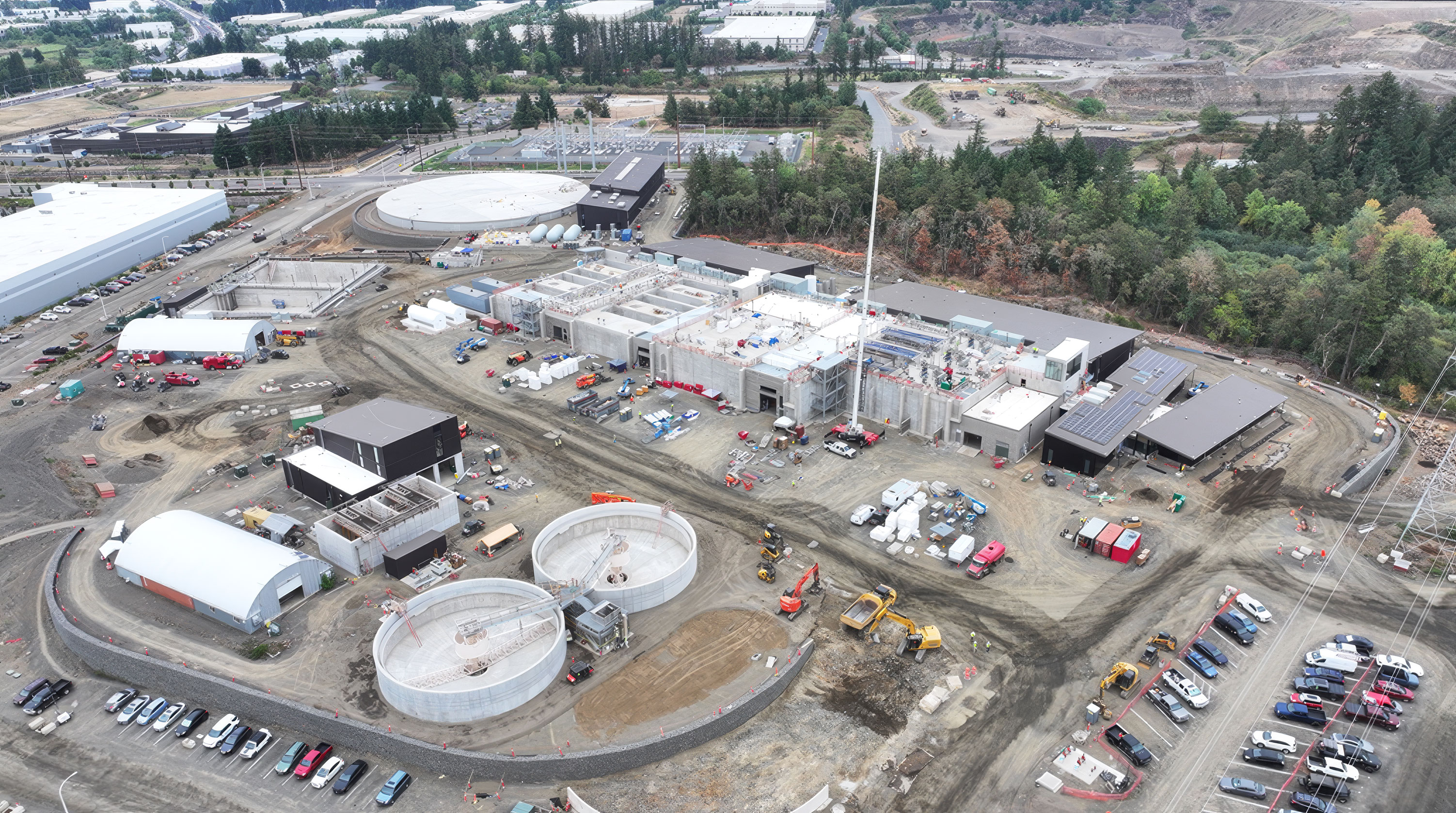
A $1.6 billion drinking water system built to keep flowing after a major Cascadia earthquake. Estructura was selected to provide its seismic monitoring through a qualification process in which product reputation and reliability were the deciding factors.
Trasfondo
The Willamette Water Supply Program is one of the largest public works projects in Oregon's history. Led by the Tualatin Valley Water District with the cities of Hillsboro and Beaverton, it delivers a new, resilient drinking water source to communities across Washington County, west of Portland.
The system draws water from the Willamette River at an intake in Wilsonville, treats it at a new plant in Sherwood designed for up to 120 million gallons per day, and carries it more than 30 miles by large-diameter pipeline to storage tanks and customers as far as Hillsboro. Design and construction ran from 2016 to 2025, and the system comes online in 2026.
Challenge
The Pacific Northwest lies above the Cascadia Subduction Zone, capable of producing a magnitude 9 earthquake. The Willamette system was designed from the outset to withstand that event and keep delivering water when communities need it most, in the hours and days after a major earthquake.
Designing for resilience is only half the task; the owners also need to know how their facilities actually perform. After any earthquake, operators must quickly confirm the condition of the intake, treatment plant and storage tanks before deciding how to operate the system. The program therefore needed seismic instrumentation it could rely on for decades, and [chose its supplier through a technical screening process rather than a low-bid competition]. GeoSIG's track record and the reliability of the system Estructura proposed were the determining factors.
Solution
Estructura designed and installed a seismic monitoring network across the program's critical facilities. [Triaxial AC-7x accelerometers record ground motion and structural response at the raw water intake, the water treatment plant and the storage tanks, each site connected to a GMSplus digital recorder.]
Data from every site flows to GeoSMART, giving operators a single view of how the whole system responded to an event. Within minutes, the platform reports peak accelerations and structural response at each facility against thresholds set by the program's engineers, so inspection crews can be directed to the right locations first. [Recorder relay outputs can also be tied into the system's controls, supporting automated protective actions such as isolating storage tanks when shaking exceeds a set level.]
The result is a water system that was built to survive a major earthquake and can now prove, with measured data, how it performed. The program's engineers remain the final authority on every operational decision; the monitoring network gives them the information to make those decisions fast.
Another solution using GeoSIG instruments and a capable partner, showing that quality and reliability can also be cost-effective.
Nuestros proyectos
Nuestros proyectos en el mundo que utilizan nuestras soluciones y tecnología.


